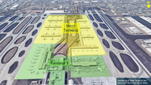

ADOT, the City of Phoenix, and the Maricopa Association of Governments are studying major improvements to I-10 through central Phoenix — from the Deck Park Tunnel to the I-10/I-17 Split near Sky Harbor — plus SR 51, Loop 202, and the Mini-Stack interchange. This is a planning study, not a construction project. No shovels go in the ground until at least 2028, if approvals and funding come through.
Your commute, your bridge, your airport ramp — here is what is at stake
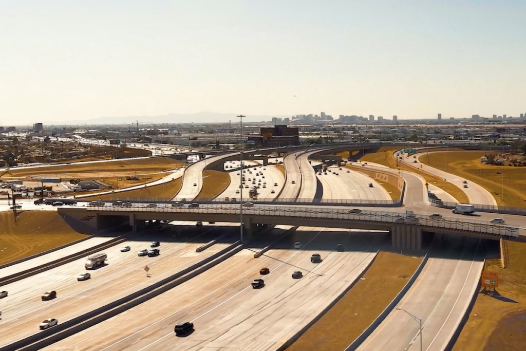
If you drive I-10 between downtown and Sky Harbor every day, you already know this stretch. During peak morning and evening rush hours, about 35,000 cars push through the three-mile corridor between the Deck Park Tunnel and the Mini-Stack. From 2020 through 2024, the stretch averaged nearly six crashes a day. Twenty-four of those crashes involved a fatality. Most were rear-end or sideswipe collisions.
The core problem is geometry. In several spots, drivers entering the freeway and drivers exiting it must cross each other’s paths in a very short distance. That forces sudden braking, creates speed mismatches, and sets up the rear-end and sideswipe crashes ADOT’s data shows. The proposals being studied are designed to untangle those crossing paths before they become crash points.
If you walk across I-10 at 10th or 18th Street, the pedestrian bridges there could be affected by the redesign. ADOT is specifically asking for input on how people use those crossings. If you drive to Sky Harbor via Sky Harbor Circle or Sky Harbor Boulevard, some of the ramps you use today could be new, relocated, or reconfigured under the proposals.
None of this is decided. But if you have a stake in any of it — as a driver, a walker, or an airport traveler — now is the time to say so.
What the study area actually covers
The study is bigger than just I-10. ADOT is looking at I-10 from the Deck Park Tunnel to the I-10/I-17 Split interchange, SR 51 south of Thomas Road, Loop 202 west of 24th Street, and the Mini-Stack interchange where those roads meet near Sky Harbor.
That whole zone is treated as one connected system. A ramp change on one road shifts traffic onto another. That is why ADOT is studying all of them together rather than piecemeal.
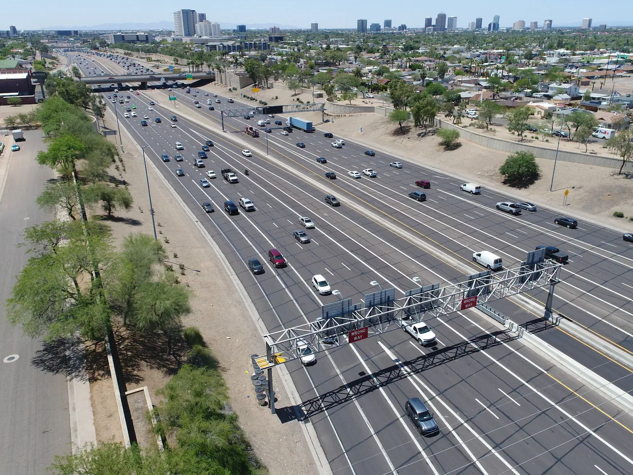
Interstate 10 through central Phoenix carries roughly 35,000 cars during peak rush hours through the three-mile study corridor. (InsideTheValley.com)
The lane plan at 16th Street explained
Right now, the eastbound lanes at 16th Street total six. Under the proposal, that would grow to eight total lanes. Here is how they break down: four main-freeway lanes — two of which would be HOV (carpool/vanpool) lanes — plus four lanes on a separate collector-distributor road running alongside the main freeway.
The collector-distributor road is the key idea. Instead of having entering and exiting traffic weave across main-freeway lanes, the collector-distributor road handles those moves on its own parallel roadway. Through drivers stay on the main lanes. Drivers getting on or off the freeway use the collector-distributor lanes, keeping the two streams separated.
Braided ramps: the Broadway Curve playbook, applied here
One option on the table is a braided ramp. ADOT describes it as a design that separates entering and exiting traffic by routing them on physically distinct ramps that pass over or under each other — like strands in a braid — instead of merging into the same lane at the same spot.
If that sounds familiar, it should. ADOT built braided ramps as part of the I-10 Broadway Curve project south of downtown. That project is the local reference point ADOT is using for the design concept being studied here.
The earlier planning work by the Maricopa Association of Governments identified braided ramps, collector-distributor roads, and other operational improvements as concepts worth deeper study. ADOT’s current Environmental Assessment and Design Concept Report is that deeper study.
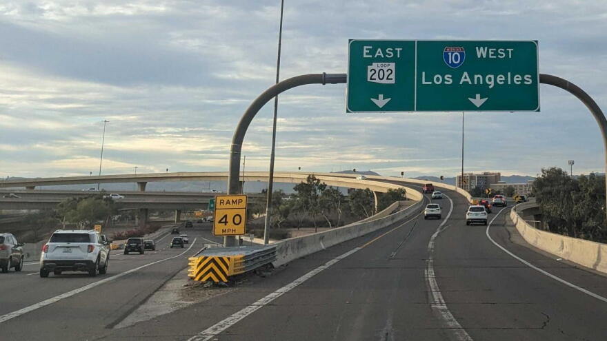
The Mini-Stack interchange, where Loop 202 and I-10 meet near Sky Harbor, is included in the study area. (InsideTheValley.com)
Sky Harbor access: which ramps could move
The proposals include both new ramps and relocated ramps serving Sky Harbor Circle and Sky Harbor Boulevard. ADOT has not finalized which ramps move or where they land — that is part of what the study will determine. But if you use those roads to get to or from Phoenix Sky Harbor International Airport, the access points you rely on today are on the table.
For more on what is happening at Sky Harbor, see our guides to Sky Harbor’s seven new routes for 2026–2027 and the Sky Harbor West Terminal project planned for 2033.
The pedestrian bridge question at 10th and 18th streets
Two pedestrian bridges — near 10th Street and 18th Street — cross I-10 in the study corridor. The proposed freeway redesign would affect both of them. ADOT is not saying they go away, but their current locations and configurations are being evaluated as part of the design process. ADOT is specifically asking the public how they use those crossings, which suggests the agency sees pedestrian access as a live variable in the design, not an afterthought.
The no-build alternative: what happens if nothing gets built
ADOT will also study a no-build alternative — a formal evaluation of what the corridor looks like in 2050 if none of the proposed improvements are constructed. Under current projections, traffic in the study area could increase by up to 60% if no improvements are made. The no-build option is required as a baseline for comparison, not a real preference. It is the answer to the question: how bad does it get if we do nothing?
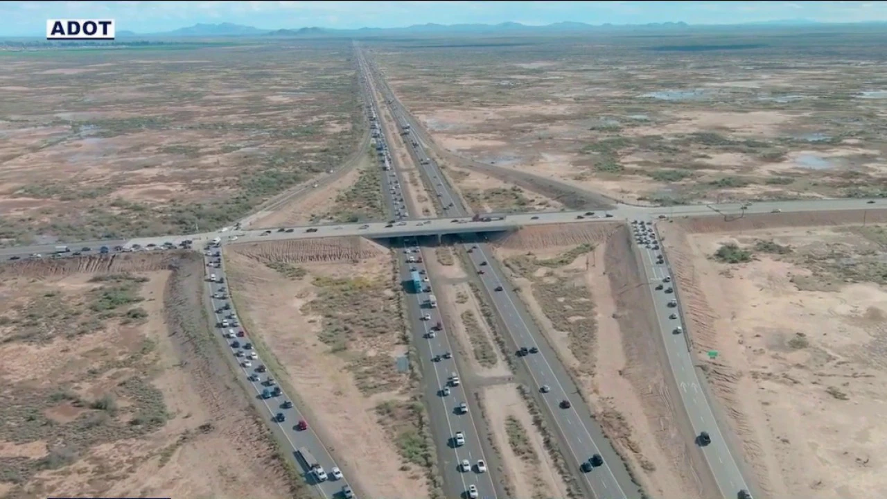
ADOT is evaluating both build and no-build alternatives for the central Phoenix I-10 corridor as part of its Environmental Assessment. (Arizona Department of Transportation)
The Nov. 9 virtual meeting and what comes next
ADOT held an in-person public meeting on Nov. 5 at Garfield Elementary School, 811 North 13th Street, Phoenix. That meeting has already taken place.
A virtual public meeting is scheduled for tonight, Nov. 9, from 6 to 7 p.m. If you want to weigh in on the lane proposals, the pedestrian bridges, or the Sky Harbor ramp changes, that is the remaining open public session tied to this round of outreach.
After that, the timeline moves to a Draft Environmental Assessment public hearing planned for late 2027 or early 2028. The overall study is expected to be complete in 2028. If improvements are approved, ADOT says they would be built in phases depending on available funding. No construction timeline has been set.
Also related: ADOT has been working on the broader Mini-Stack interchange improvements, and the I-10 widening project south of Phoenix is already under construction further down the corridor.